In the morning my knee
still hurt badly enough that I worried I’d overdone it and blown the whole
trip, but by midday I found that it was suddenly fine and I set off for Boulder
Oaks Campground 6 miles away. I walked
with a man who called himself Doaf Master as a trail name, the nickname having
been given to him by friends in high school[i]. Doaf was 49 and had had a career in something
that sounded like managing investment bankers, but my mind glazed over whenever
I tried to focus on the topic. He had
been saving to hike the PCT at age 50, but the combination of a fight with his
boss and a $35,000 inheritance from his grandmother had shifted his plans
forward a year. We were a comfortable
hiking duo, and his style of stopping every few miles to take the weight off of
his feet taught me an invaluable lesson on taking care of my body on long
hikes.


My first day, hiking alone from the border, I had sung myself the Bruce Springsteen song The Line over and over:


It was still warm and
bright when we reached the Boulder Oaks Campground. It had pens for horses, which I would see
again and would make me ridiculously happy each time, although I have yet to
see one occupied by a horse. The PCT is
open to horses, lamas, and other animals and only closed to wheeled transport,
but I have yet to see any of either on the trail.
There are parts of it that I’ve already walked that would be impossible
for a horse carrying a rider dicey even for a horse just carrying a pack, but
there are also sections that would probably be great fun.
The men made a fire while I wrote in my journal, and the three of us sat around it talking. Derek had some great stories, the most colorful of which were from a college trip to China. Determined to meet local people, he had regularly gone to bars at night after his class’s activities were finished. He said that Chinese people exchange business cards when a contact is made, and that they carry the business cards of their contacts and show them as a way of demonstrating their connections when necessary. One night in a bar he had accepted a cigarette offered by the local chief of police, and the chief had given him a business card. Later his class had taken a field trip and stumbled on an incredibly strange festival of some sort, where people screamed and swore through a fence and were whipped with a horse tail from inside it. Fascinated, the students had tried to get closer for a better look, but were intercepted and told to leave by the police. Derek had fished in his wallet and found the chief’s business card. He’d flashed it, and suddenly everything had been OK. His professor had been astounded, asking how on earth Derek could possibly have the business card of the chief of police. His answer: Go out and meet people.


My first day, hiking alone from the border, I had sung myself the Bruce Springsteen song The Line over and over:
I got my discharge
from Fort Irwin
took a place on the San Diego county line
felt funny being a civilian again
it'd been some time
my wife had died a year ago
I was still trying to find my way back whole
went to work for the INS on the line
With the California Border Patrol
Bobby Ramirez was a ten-year veteran
We became friends
his family was from Guanajuato
so the job it was different for him
He said “They risk death in the deserts and mountains
pay all they got to the smugglers rings,
we send 'em home and they come right back again
Carl, hunger is a powerful thing.”
Well I was good at doing what I was told
kept my uniform pressed and clean
at night I chased their shadows
through the arroyos and ravines
drug runners, farmers with their families,
young women with little children by their sides
come night we'd wait out in the canyons
and try to keep ‘em from crossin’ the line
Well the first time that I saw her
she was in the holding pen
Our eyes met and she looked away
then she looked back again
her hair was black as coal
her eyes reminded me of what I'd lost
she had a young child crying in her arms
and I asked, “Senora, is there anything I can do?”
There was a bar in Tijuana
where me and Bobby would drink with
the same people we'd sent back the day before
we met there she said her name was Louisa
she was from Sonora and had just come north
as we danced and I held her in my arms
and I knew what I would do
she said she had some family in Madera county
if she, her child, and her younger brother could just get through
At night they come across the levy
in the searchlights dusty glow
we’d rush ‘em in our Broncos
and force ‘em back down into the river below
she climbed into my truck
she leaned towards me and we kissed
as we drove her brothers shirt slipped open
and I saw the tape across his chest
We were just about on the highway
when Bobby's jeep come up in the dust on my right
I pulled over and let my engine run
and stepped out into his lights
I felt myself movin’
felt my gun resting ‘neath my hand
we stood there staring at each other
as off through the arroyo she ran
Bobby Ramirez he never said nothin’
6 months later I left the line
I drifted to the central valley
and took what work I could find
at night I searched the local bars
and the migrant towns
Lookin' for my Louisa
with the black hair fallin' down
Today I just sang the
most relevant lines from an Ani DiFranco song I vaguely remembered:
When I look down,
I just miss all the good stuff.
When I look up,
I just trip over things.
I just miss all the good stuff.
When I look up,
I just trip over things.


 |
| Horse pens at Boulder Oaks Campground |
 |
| Making my tent poles double as a clothesline. The T-shirt is from the California Honeydrops, who sponsored me on trail by giving me a free shirt to wear. |
 |
| Derek |
The men made a fire while I wrote in my journal, and the three of us sat around it talking. Derek had some great stories, the most colorful of which were from a college trip to China. Determined to meet local people, he had regularly gone to bars at night after his class’s activities were finished. He said that Chinese people exchange business cards when a contact is made, and that they carry the business cards of their contacts and show them as a way of demonstrating their connections when necessary. One night in a bar he had accepted a cigarette offered by the local chief of police, and the chief had given him a business card. Later his class had taken a field trip and stumbled on an incredibly strange festival of some sort, where people screamed and swore through a fence and were whipped with a horse tail from inside it. Fascinated, the students had tried to get closer for a better look, but were intercepted and told to leave by the police. Derek had fished in his wallet and found the chief’s business card. He’d flashed it, and suddenly everything had been OK. His professor had been astounded, asking how on earth Derek could possibly have the business card of the chief of police. His answer: Go out and meet people.
The next Day Doaf shook
Derek’s hand, I hugged him, and we set off down the trail. Later, looking at Derek’s blog, I found that
Doaf and I were two of the people he had met on his current adventure and
written about: http://www.oursharedadventure.com/an-unexpected-encounter/
- there’s even a picture of me.
My confidence in my
body renewed, I resolved to hike the 16 miles to Mount Laguna unless something
started hurting seriously. Doaf let me
take the lead, and I found that I was able to set a fairly decent pace,
particularly on the uphill stretches. It
seemed as though hiking uphill worked muscles, which I already had from
running, and hiking downhill was hard on tendons and ligaments, where I didn’t have
any strength built up. I also realized
what a huge debt I owed Gio, my 2012 thru-hiker buddy who had helped me choose
my gear. Doaf was tall and lean and was an
experienced hiker, but I still think he carried twice the weight I did, and the
day was much harder for him than for me.
As we climbed the 3,000 feet between Boulder Oaks and Mt. Laguna he
worked hard to stay with me, although I’m sure that had we carried equal
weights the situation would have been reversed.


I also began to realize that
there was a fine line between too much water and not enough. My first day I had carried five liters,
dumping two of them out only late in the day and cursing myself for my
stupidity. Today I carried only my
three-liter platypus, but the day was hot and we found a flowing stream only
right before my water had finished and well after I’d begun to worry. I charged up to the stream with my two auxiliary
one-liter bottles, filling them clumsily and including much more sediment than
was necessary. I took out my Vizene bottle
full of bleach, squeezed one drop into each water bottle, thanked Gio again
mentally for the lightweight and easy water purification solution, and stashed
them in my pack.
I checked my phone for the time, and suddenly realized that we could make it to Mt. Laguna by 5:00 PM, when Yogi’s guide said the store closed. Visions of cold beer clouded my sight, and I hurriedly threw my socks and shoes back on, crammed my scattered belongings back into my pack, looked at Doaf urgently.
“It’s OK,” he said, “go
ahead, I’ll catch up.”  |
| Interstate 8, the finish line for illegal immigrants |
 |
| Looking back on Interstate 8 |


 |
| Taking frequent rests makes all the difference. |
 |
| Are you kidding me? |
 |
| I'm still madly curious about this scat. I've yet to figure out which animal makes it or to see the berries anywhere outside of the scat - where on earth does it come from? |
 |
| Got water! |
I checked my phone for the time, and suddenly realized that we could make it to Mt. Laguna by 5:00 PM, when Yogi’s guide said the store closed. Visions of cold beer clouded my sight, and I hurriedly threw my socks and shoes back on, crammed my scattered belongings back into my pack, looked at Doaf urgently.
 |
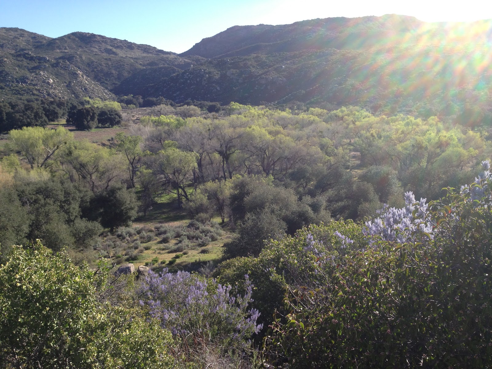
| The terrain changes rapidly on trail. I took this picture and the one below it in the four miles between the stream and Mt. Laguna. |
 |
| As we approached Mt. Laguna, the terrain became forested. |
“Too late.”
“No!” I screamed.
“You’re open till 5:00! It’s only
4:30!” The man began to laugh.
“I know,” he chuckled, “just
messin’ with you.”
“It’s really, really
easy to do that right now,” I said. “I
am really easy to mess with in this state.”
Really, I was pretty low hanging fruit.
I bought a half-rack of
Miller High Life, and Doaf rented a cabin room with two beds and invited me to
sleep in the second. He charged off to the room
shower, and I stayed on the porch drinking beer and eating cheddar and saltine crackers in the sun.

It took me 45 minutes to muster the energy to carry my backpack and the beer to the room, and another solid hour to rally to take a shower myself. I laid near catatonic in the second bed, drinking Miller High Life and watching Bill Murray lead a band of rag-tag army recruits into trouble. I felt somewhat disappointed that civilization wasn’t giving me culture shock, although I’d only been hiking for three days and even had an iPhone app to help me get into town before the store closed. Bill Murray invaded Czechoslovakia in an RV, which was surreal enough to make me feel a little better.

It took me 45 minutes to muster the energy to carry my backpack and the beer to the room, and another solid hour to rally to take a shower myself. I laid near catatonic in the second bed, drinking Miller High Life and watching Bill Murray lead a band of rag-tag army recruits into trouble. I felt somewhat disappointed that civilization wasn’t giving me culture shock, although I’d only been hiking for three days and even had an iPhone app to help me get into town before the store closed. Bill Murray invaded Czechoslovakia in an RV, which was surreal enough to make me feel a little better.
[i] It’s tradition on the PCT for hikers
to be given trail names. Some people
name themselves, but I think the tradition is to let others name you something
relevant to your personality or actions on the trail.
[ii] There are a few apps that have
been developed for the PCT. I think the
most common is called Halfmile, but I bought Guthook’s on Gio’s recommendation
and think it’s probably better because I’ve showed it to a few people who
already had the Halfmile app and were impressed and bought Guthook’s, which has
some cool features like mapping your upcoming elevation changes and showing
campsites and water sources. The most
important feature of the apps is that all of the maps are downloaded with
them. Any mapping app can pinpoint your
position using GPS, but when you use a standard mapping app you need cellular
service to load the map. With these apps
the maps are on your phone, so you don’t need to be in range of a cell tower to
use them. I’ve been keeping my phone in
airplane mode to save batteries and quickly switching out of it to locate my
position on the maps, but I’ve read that with an iPhone from AT&T you can
actually just pop out the simcard and then keep the phone out of airplane mode
without wasting battery constantly searching for a signal.
No comments:
Post a Comment